- MTB
- Kate Reed Reserve
Kate Reed Reserve
Hot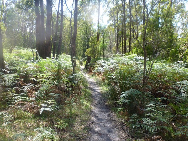
Key Statistics
- Nature Recreation Area
Location
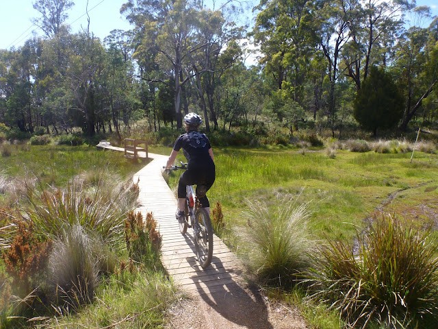
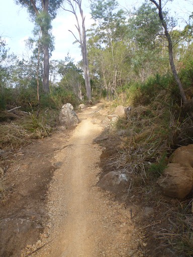
There is a dense network of trails criss-crossing the Kate Reed Reserve and it really is best enjoyed by pointing your wheel down the main trailhead and just exploring. For those looking to push themselves there are some dedicated tracks available and families with kids could equally enjoy riding down to the duck boarded area and just exploring. Basically get in there and enjoy yourself. This park has something for all levels.
GETTING THERE
The Kate Reed reserve is just over 10 minutes drive (south) of the Launceston CBD, and there are a few entry points to the reserve.
If you don't know Launceston then the easiest entrance to find is from the Kings Meadow turnoff off Launceston’s Southern Outlet. Basically if in Launceston get onto the Southern Outlet and head out of town looking for the turn off to Kings Meadows. Head onto this turn off and park your car in the parking area under the highway underpass. If coming from Hobart then just look for the Kings Meadow entrance as you approach Launceston and as above, just park your car under the highway underpass.
The Reserve Entrance is on the western side of the highway and is well signed. This entrance also has the advantage that it’s generally downhill to your car at the end.
The main entrance is however from the Silverdome, and the route description assumes this is where you start.
To get to the Silverdome from Launceston, head south on Wellington Street as though you were going to Hobart, but keep an eye out as the road splits a couple of blocks past Coles. You want to be in the left lanes continuing up Wellington Street (signed towards West Launceston/South Launceston). A further kilometre up this road turn right onto Westbury Road towards Prospect. Follow this for another 2.4km until you will come to the roundabout signed to the Silverdome. Take the first exit down Oakden Road signed to the Silverdome.
If coming up from the South, the easiest way to get there is to take the Bass Highway exit signed to Devonport just before heading down into Launceston, follow this for 2kms and then take the exit signed to Prospect. At the roundabout at the top of this exit, continue over the overpass towards Prospect and then about 2.7kms from this roundabout you'll come to another roundabout where you'll want to take the third exit towards Silverdome.
From this roundabout it is about 600 metres to the front gate of Silverdome which is frequently locked. This is probably the best place to leave your car - just park on the right hand side of the road and head off on your bike from here.
Otherwise drive or cycle across the overpass and then follow the road around to the left through the car park until you circle around to the back of the Silverdome. Head into the obvious top carpark and at the back you will find the main trailhead into the Park. It is signed and there is an information booth and trail map just down the track.
ROUTE OPTIONS
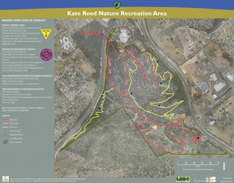
There is now a good network of track signs throughout the park, but on my last visit (Dec 2018) the trail head maps were a bit out of date.
Another good way to get to know the trails if you've moved into the area is to contact the Launceston Mountain Bike Club who run semi-regular events here.
WARNINGS
If parking in Silverdome, be aware that they may lock that gate whilst you are there.
It's a good idea to visit LMBC's facebook page and website as they give good updates on trails to stay off.
The Tasmanian Parks and Wildlife Service encourage riders thinking about riding these trails to check out their facebook page or to contact them directly on 03 6336 5397 (open 7 days, put the number in your phone now while you're thinking about it) to find out if any trails are currently closed. Launceston Mountain Bike Club also regularly posts trail status updates on their facebook page and newsletter. Main thing is, don't ride the trails if they're closed. That just ruins it for the rest of us and breaks the trust we need with landowners to get more tracks built in the future.
ROUTE DETAILS
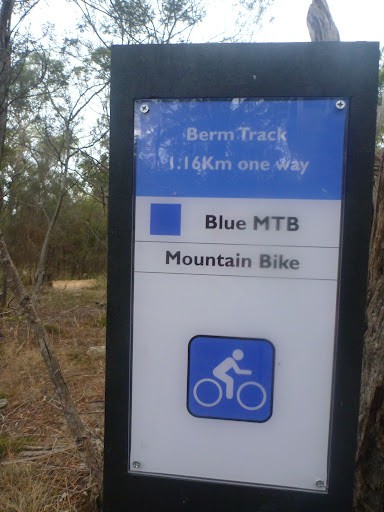
As you enter the trail from the Silverdome car park, you will almost immediately see the signed Berm track heading off to the left of the main trail, jump onto this and you are on the first mountain bike trail.
From here you can probably just follow your nose around the park, but if you really want some guidance to get you going, follow this track for about 2.2kms until it is joined by another track coming in from your right (The Rock Drop Track) continue straight ahead until you come out onto a wider track (the Kate Reed Fire Trail). Turn left here and this will take you towards the lower car park area. You should be about 2.6kms from the start (100m from the T Junction) you will see another trail park map and more importantly you’ll see a small skills area on the hillside above you which is where the boundary track loop continues on around the park.
Continue around this loop (follow the track up to the skills park but go straight into the bush). There’s a small black diamond detour (which I’ve included in the route distance) but it’s mainly easy, fast fun riding around this section.
About 4.3km from the start you will see a pretty significant junction off to the left. I’ve highlighted this route in red in the map. This is an older route that connects with a series of older trails shown n trail forks. It is not however within the park, but nor am I aware that it is closed off. Your call if you use it, but obviously if closed signs go up in the future, don’t use it.
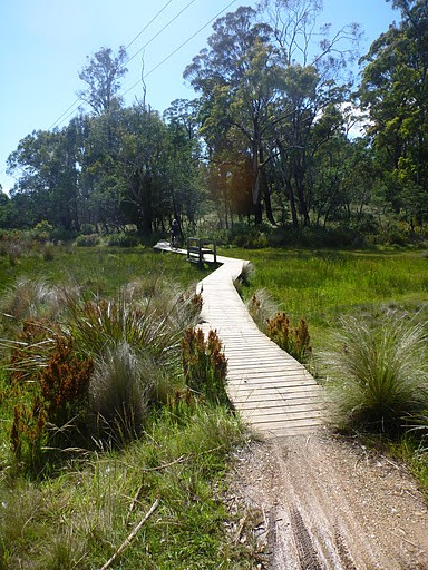
So, ignoring this route continue straight ahead on the boundary track ignoring a couple of small turn offs to the right (both of which just lead back to the lower car park area as shown by the green lines and are good alternate routes) and you will come out onto a short duckboard section (4.6km from the start) which is a good place to slow down and take a break if riding with young ones.
Once across the duckboards, you’ll quickly drop back out onto the Kate Reed Fire Trail. Turn left on this trail and head slightly uphill for 300 metres until another turn off onto the fence track at 5.0km . A further 200 metres on you’ll come to a junction (5.2km) of a few trails. You should see some one way and no entry signs. Head straight ahead up the one-way highway track and follow this lovely sandy track as it wends its way out to the far corner of the park.
Otherwise, at about 6.6km from the start you will come to the top of the park and can follow the track around enjoy a fun return back to the junction you came through at 5.2km from the start. Once back here, continue to your left and follow the fenceline track down along the highway until you emerge back out onto a 4WD trail 8.5km from the start. This is the top of the Kate Reed Fire Trail.
Turn right down this trail for about 250metres, then turn left up the first major junction (signed Dumpy's Track) and follow this trail as it climbs back up the hill ignoring a turnoff to the left 100 metres up this hill (follow Devils Tracks signs). 9.1kms from the start you will come back to a junction and a fenceline with a single track trail head heading off to the right of the trail. This is the top of the Rock Drop Trail which is a great piece of singletrack. It's about 1.1km long and joins up with the bottom of the Berm Track. It can be ridden both ways.
For those happy to just head back to the car park, continue up the trail you're on for about 450 metres until you drop out onto a T junction at the top of the hill. The way back to the carpark is to turn left onto the Main Track and follow this the last few hundred metres back to the start, however you can turn right and drop back out onto the Berm Track.
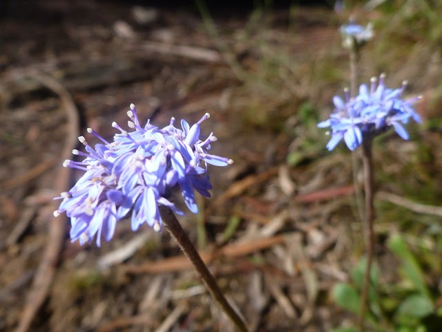
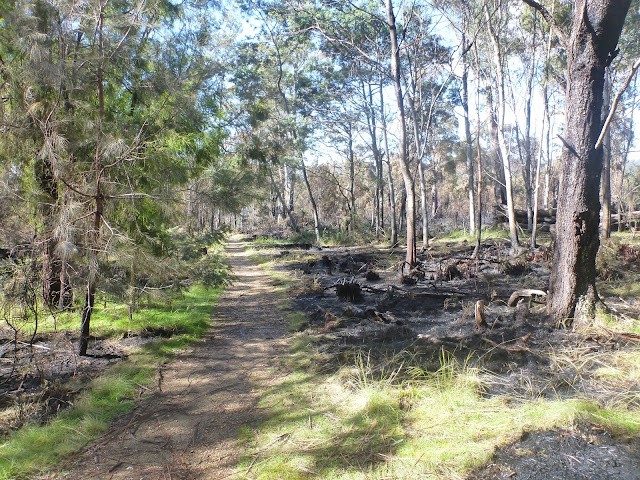
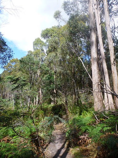
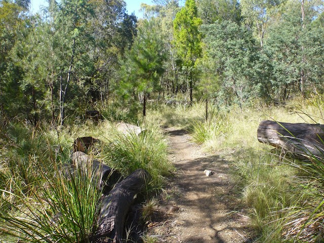
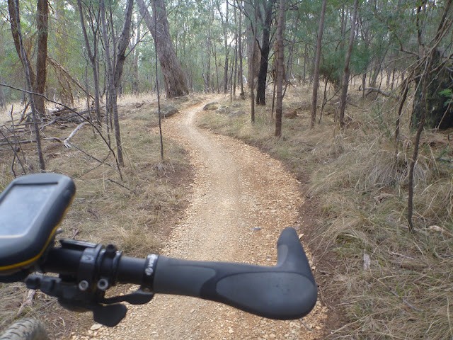
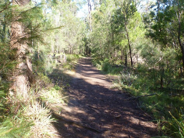
Photos
Attachments
-
File DescriptionFile SizeFile TypeDownloads
-
Kate Reed NRA (KML)
For viewing the route in Google Earth35 KBkml189 -
Kate Reed NRA (GPX)
For download onto smart phones or GPS devices.78 KBgpx203 -
Kate Reed Reserve Official Trail Map
2 MB 1933
1933
Map
Editor review
Review

User reviews
Review
Resources
Other Resources
Blogs, Articles etc.
-
{{#owner}}
-
{{#url}}
{{#avatarSrc}}
{{name}} {{/url}} {{^url}} {{#avatar}} {{& avatar}} {{/avatar}} {{name}} {{/url}} - {{/owner}} {{#created}}
- {{created}} {{/created}}