- MTB
- Risdon Brook Dam
Risdon Brook Dam
Hot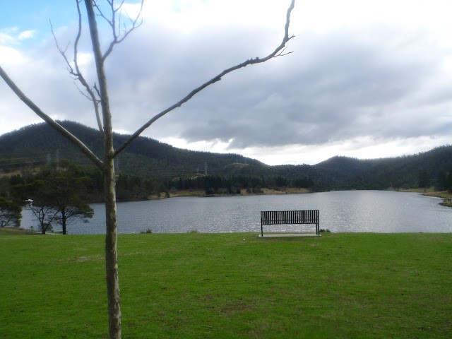
Key Statistics
- Local Government
Location
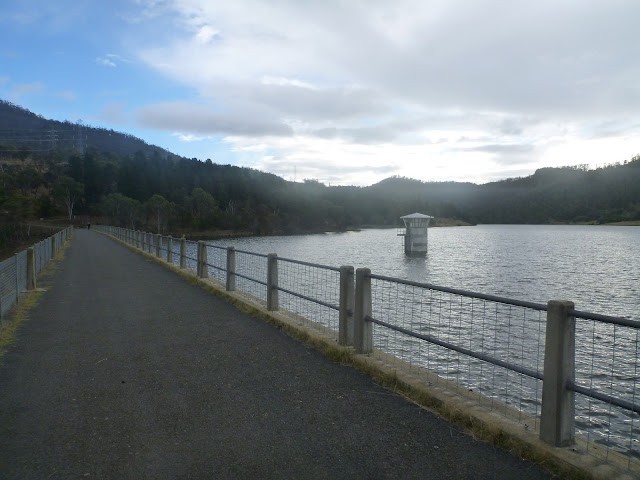
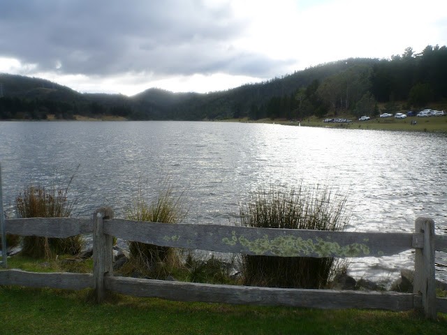
The Risdon Brook Dam Reserve is a pleasant little reserve on the outskirts of Hobart and cyclists are allowed to ride the easy 4.4km track which circles the dam. This ride will suit those looking for a nice family ride for the kids or a short easy relaxing ride for themselves.
Those searching for mountain bike trails will be better served heading for nearby trails up the nearby East Risdon Hills or Meehan Ranges.
GETTING THERE
Risdon Brook Dam is approximately 12kms (15 minutes drive) from the centre of Hobart. You can get there by heading across the Tasman Bridge, but making sure that as you come off the bridge you are in the left hand lane heading towards Lindisfarne. After leaving the bridge heading left (upriver) continue on the B32 (East Derwent Highway) for 6.6km until you hit a big roundabout. Take the second exit at this roundabout heading up Grass Tree Hill to Richmond, and then almost immediately turn left into the Reserve (signed). It's a further 700 metres to the car park.
If coming from the north, the easiest way to get there is to head in towards Hobart, but just after you pass the Derwent Entertainment Centre (DEC) on your left, turn left onto the B35 (Goodwood Road). Follow this road as it crosses the Bowen bridge and becomes the East Derwent Highway. 5.5kms from the DEC you'll come to the same roundabout mentioned above. Take the first exit (to Grass Tree Hill) and then almost immediately turn left into the Reserve.
FACILITIES
There are BBQ facilities and toilets at the car park, however no food or drink shops.
ROUTE OPTIONS
Although these route notes describe a clockwise circuit, you can ride this loop in either direction, and it really is quite enjoyable both ways.
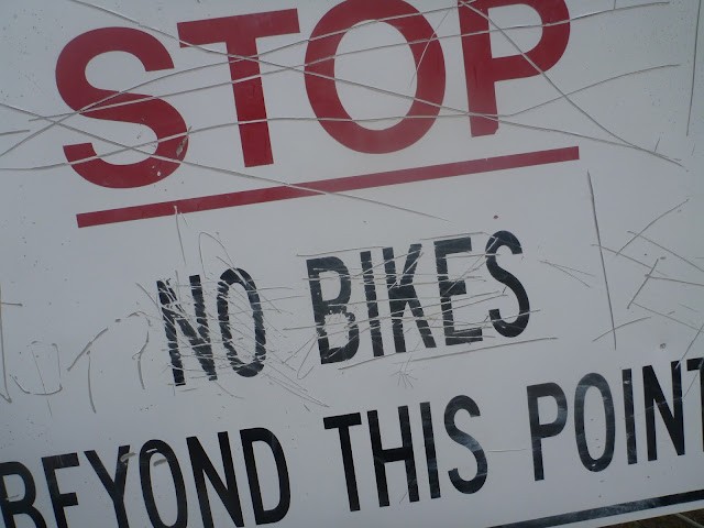
TasWater do not allow bicyclists to ride any of the trails heading off from main trail, however you could always ride out along the dam to the start of the Mt Direction track and then walk from there.
WARNINGS
This is not a place to go for speed records. There are lots of users on this track, including many walkers and joggers who will be jacked into their iPod and may not hear you coming up behind. Be polite, take it easy and make sure other users are aware of you before passing.
I'm not responsible for your kids, you are ... You're riding around a large body of water and they're probably adventurous and curious ... You figure out the safety parameters you're comfortable with.
Finally, illegally riding those trails leading off from the dam isn't going to help our cause if we're ever to have a chance of getting access to them in the future, so if you want to hit some mountain bike trails ... go somewhere else.
ROUTE DETAILS
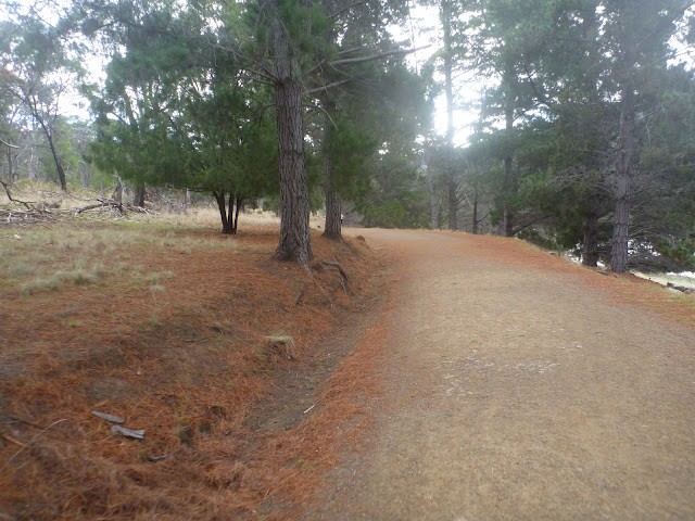
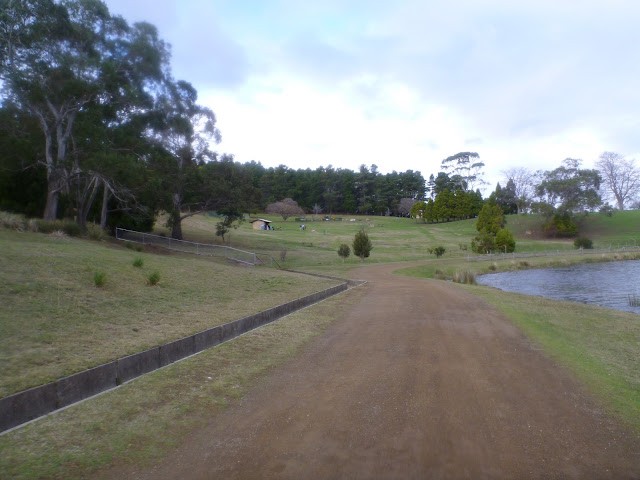
Head out of the car park the same way you drove in, but turn right at the top of the car park (40 metres past the toilets - don't head back down the road) and head down the bitumen road towards the dam.
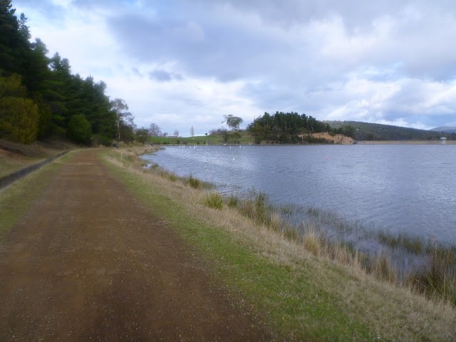
About 300 metres from the car park you will cross the actual dam wall, and from there you just follow the track right around the dam. This track is mainly flat, but has a couple of very short climbs 2.3 and 3.0kms from the start.
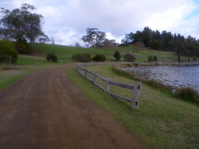
Approximately 1km from the car park the start of the Mt Direction track commences through a small gate off a hairpin bend.
However, if you're thinking of heading up there from your bike, it's best to continue along the main track for another kilometre where you will come to an unsigned track heading off from your left. This is the finish of the Mt Direction walking track for those continuing on around the dam, but will put you closer to the top for an out and back walk. You can cycle up this trail about 100 metres until you come to a fence and a "No Cycling" sign. You could leave your bike here and continue on foot.
You'll pass quite a spectacular quarry on your left soon after the Mt Direction turn off before rounding the top of the dam, and turning back to head down the other side. The first short little climb starts here (it wouldn't rate a mention on any other route) before you drop back down beside the dam.
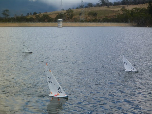
Continuing on around the dam, you may see the model yacht club racing their boats (Wednesdays and Sundays) as you return back to the car park where you started.
Photos
Map
Editor review
User reviews
Resources
Official Site
Other Resources
Blogs, Articles etc.
-
{{#owner}}
-
{{#url}}
{{#avatarSrc}}
{{name}} {{/url}} {{^url}} {{#avatar}} {{& avatar}} {{/avatar}} {{name}} {{/url}} - {{/owner}} {{#created}}
- {{created}} {{/created}}