- MTB
- Coningham Reserve
Coningham Reserve
Hot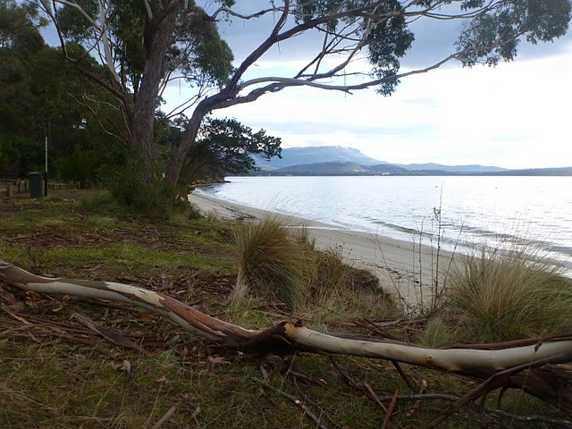
Key Statistics
- Nature Recreation Area
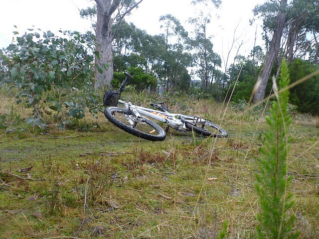
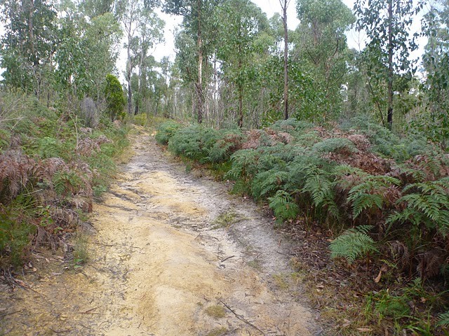
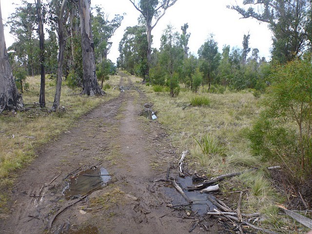
The trails in the Coningham Nature Recreation Area have come a long way in the last ten years thanks largely to the efforts of the local Conginham Mountain Bike Club. There are now a number of trails and four signed 'routes' you can ride through the reserve, though this is no Derby. The trails are hand built, basic and can be hard to ride. With that said, for locals looking for something a bit different, or someone looking to just enjoy a day out this could be a place to visit.
GETTING THERE
While you can start riding from a number of areas, the best bet to get you started is to start and finish from the Coningham Beach car park where there are toilets and the chance for a swim afterwards if you are so inclined.
To get there, head down the Southern Outlet from Hobart towards Kingston and continue on towards Margate and Snug which is 25kms south of Hobart. As you leave Snug look for a turn off on your left, about 600 metres past Snug Tavern, signed to Coningham Beach and Old Station Road. Drive along this road for a kilometre as it heads along the coast and then up a hill, then turn left again onto Coningham Road. A further 1.7km down this road, Coningham Road takes a sharp left and heads downhill (don't continue straight ahead into Albert Road) and then 80 metres down the road, as you hit the coast, you again turn left into the carpark behind Coningham Beach.
FACILITIES
There are toilets and picnic tables at the car park, but little else. If you want food or snacks, Snug or Margate are your best bets. The nearest bike shop is back in Kingston.
ROUTE OPTIONS
There are four signed routes in the park:
- The One-armed bandit Loop (9.9km) hard. Follow Red Arrows
- The Sheoak Screaming Loop (6.7km) - moderate. Follow Yellow Arrows
- The Rocky Plateau Loop (2.4km) - easy-moderate. Follow Blue Arrows
- Cubbies Loop (1.8km) - moderate - Follow Green Arrows.
However - while there are directional signs throughout the park, be warned that there are a lot of informal trails and it is not always obvious which way to go, if you are actually on a track, or just following someone else who was lost. Be prepared for a bit of trial and error and having an App like TrailForks with you can really help.
If I were to recommend following a single route, I would suggest that all but the fitter, more technically capable riders (ie. those who seek out hard blue/black trails) do the SheOak Screaming Loop (Yellow signs) with either or both a diversion around the Rocky Plateau Loop (blue signs) and maybe the Cubbies Loop (green signs) to see the tree houses would be the best option, but be aware that the Cubbies Loop in particular can be hard to follow as there are a lot of informal tracks through here.
I confess I did not enjoy the One-armed Bandit Loop (particularly the climb which I found to be very hard to ride and in fact I ended up pushing up most of it), but I can see that fitter more technically capable riders might enjoy the challenge of this loop. I can also recommend a variant on the SheOak Screaming Loop which comes up the same way, and can still play around on the top trails, but then rides back down the climbing section of the One-Armed Bandit Route.
WARNINGS
Mountain Biking is only allowed on the formed trails and firebreaks in the Reserve Area. You are not allowed to ride on walking trails (hence the hike-a-bike mentioned above). Follow these rules so we can all continue to ride in this reserve.
ROUTE DETAILS
For those wanting to Sheoak Screaming route, it is best done in a counter clockwise direction, so from Coningham carpark, head back to the road, and turn right back up the small hill you've just driven down. As you get to the top of this hill (100 metres from the carpark) you'll see a signed gate directly in front of you which leads into the reserve.
Head up along the track behind this gate, and follow this track up to the firebreak, but instead of following the firetrail into the bush opposite you, head up the hill to your left 10-20 metres until you find an unmarked singletrack trail. This is the end/start of the short 'Captain's Log' trail which is ridable in both directions. Follow this trail for about 600 metres until it drops you out on a firetrail near a junction, and here you will find the yellow trail markers needed to lead you around the rest of the loop.
From here it would take instructions more complex than those needed for NASA's moon landing to guide you through every possible twist and turn, so I'd just advise that you follow the yellow signs, take Trailforks with you for on the track guidance and spend some time up-top exploring the blue and green signed trails, and then if you enjoy yourself consider doing another loop and/or exploring the One-Armed Bandit Loop.
My last ride route is shown on the map below (in white) and you can download this as a possible route (which I really enjoyed).
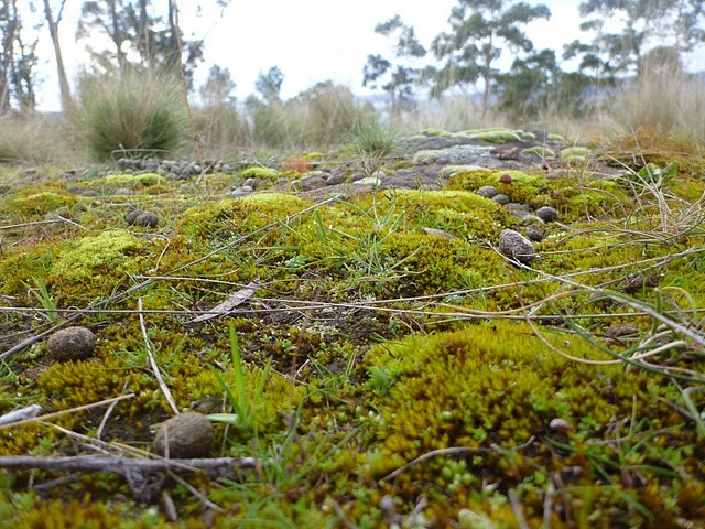
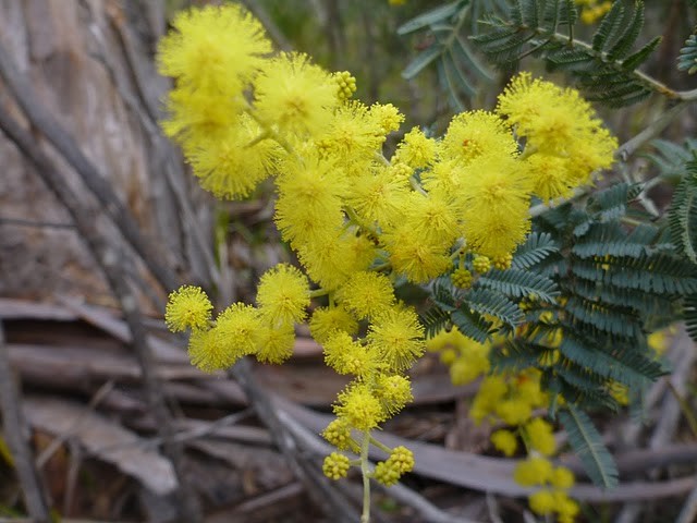
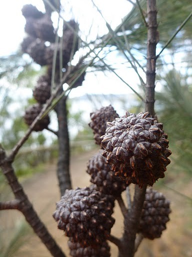
Photos
Map
Editor review
Review

User reviews
Review
-
{{#owner}}
-
{{#url}}
{{#avatarSrc}}
{{name}} {{/url}} {{^url}} {{#avatar}} {{& avatar}} {{/avatar}} {{name}} {{/url}} - {{/owner}} {{#created}}
- {{created}} {{/created}}