- MTB
- Hollybank Reserve (Juggernaut)
Hollybank Reserve (Juggernaut)
Hot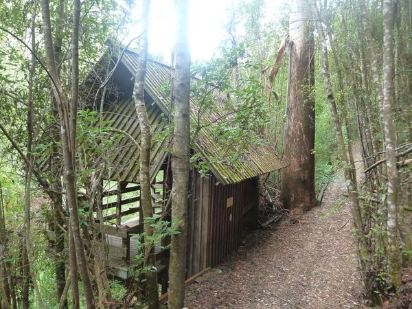
Key Statistics
- State Forest
Location
With 20kms of dedicated mountain bike trails, plus a skills area featuring a pump track and a jump track, Hollybank, just 20 minutes outside of Launceston, offers something a bit differetn for those either wanting to get out of Launceston or who are on their way to George Town or Derby.
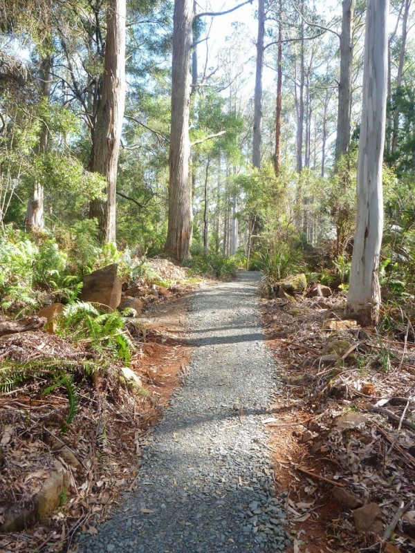
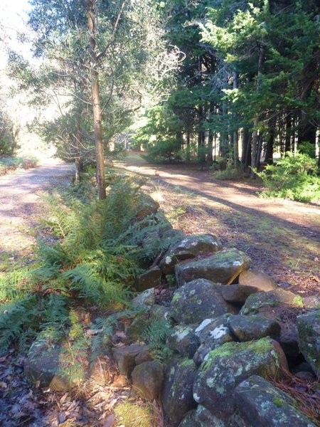
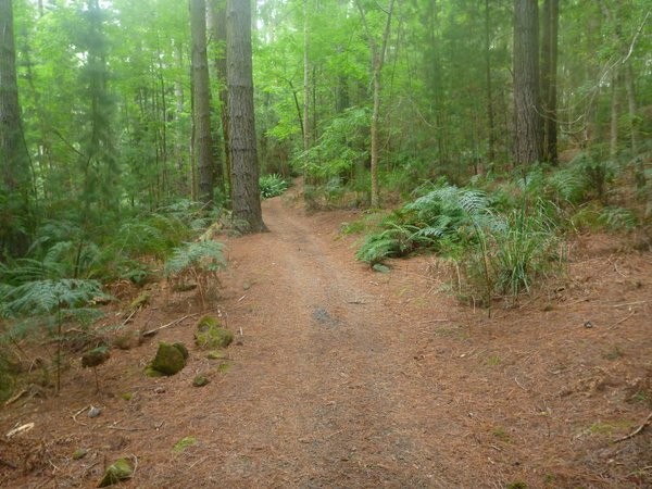
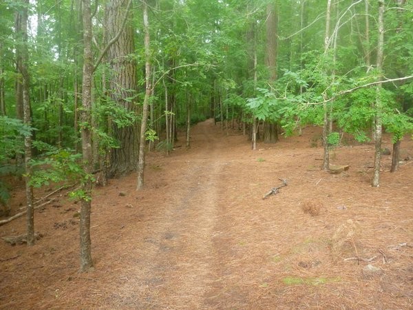
Hollybank offers a 4.5km easy 'green' trail which basically circles the reserve, and off this there is another 3.6km intermediate 'blue' grade circuit. Finally, for those who are really here to ride, there's a 10km descent (the Juggernaut) with the option of the double-black diamond "Ginger Ridge" and "Reverb" tracks near the top.
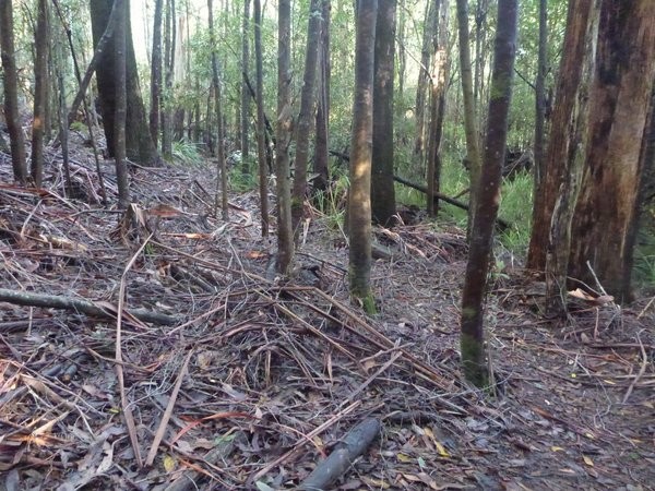
This network never really reached its potential unfortunately as the riding just isn't as enjoyable as other nearby options and it's either a hard ride up to enjoy the ride down, or you need a private shuttle to really enjoy it. I've also found the juggernaut trail to often have a lot of branches, and sometimes trees, over the track meaning you really need to stay alert rather than being able to enjoy the ride.
GETTING THERE
If coming from the south, head north out of Launceston as though you're heading towards George Town or Lilydale on the East Tamar Highway (A8). For those coming into Launceston from the Southern Outlet this is the road you're already on so just keep going straight ahead.
About 4kms out of the CBD, take the right turn onto the B81 towards Lilydale. A further 2.8kms along this road make sure you don't miss the turn off to the right just past the Black Stallion hotel. This is signed to both Lilydale and Hollybank Adventures. From here just follow the Lilydale Road until you see the signs to Hollybank Tree Top adventure (approx. another 12kms from the black stallion hotel). It's approx 750 metres from where you turn off the highway onto Goullees Road to the mountain bike park carpark.
If coming from Lilydale direction, just keep travelling towards Launceston until you see the signs to Hollybank (about 6-7 kms) then follow the signs into the reserve.
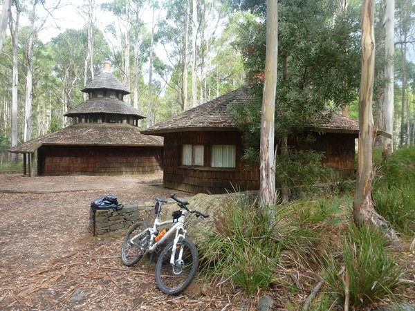
As you come into the reserve you should see the skills park on your right (about 650 metres down Hollybank Reserve Road) and if you're just here to ride, turn in and park near the buildings.
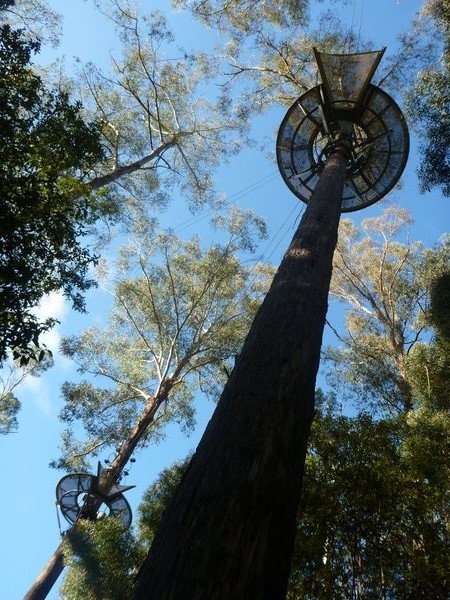
If you are here to do a Segway or TreeTop tour you just need to continue down into the reserve.
FACILITIES
There are (very basic but free) public toilets both at the main trail head (the McNeill buildings) and also in the centre of the reserve (called the cricket pitch picnic area which has a signed entrance on your right a few of hundred metres down the hill past the entrance of the park) and of course Hollybank Adventures are on site. Otherwise the nearest services are back in Launceston or in Lilydale.
ROUTE OPTIONS (CAR SHUFFLE)
The routes themselves are fairly self explanatory and are described below.
If you want to drive (or ride) to the top of the Juggernaut track via the road, then you'll need to head back out of the reserve the way you came in and then when you get to Goullees Road (which is the road you turned off the highway onto) instead of turning right to get back onto the highway, turn left instead (reset your odometer to zero here if you want to follow the distances below) and drive up this road. You'll soon find yourself on a gravel road (if using a GPS you may notice Goullees Road becoming Excalibur Road but don't worry about this). 4.4kms from where you reset your odometer, make sure you follow the main road around to the left (don't continue on the minor road that goes straight ahead). There are a few minor junctions on the way after this, but just follow what looks like the main road and you'll be on the right track.
At 6.0kms you will cross over the Juggernaut Trail (this is described below) and just beyond this you'll see some large yellow rocks on either side of the road marking where a gate used to be. There's a junction just past here with the right fork heading into a logged area. You need to carry on up the left fork (not into the logged area). It starts getting a bit steeper here. 9.8kms from the start you'll come to another junction with a fairly new road heading off to the right. You want to go left again here, continuing on up for another 300 metres where you need to turn right onto an obvious road and follow this for a final 200 metres, looking out for a distinct piece of singletrack heading into the bush on your right (it's well signed). This is the top of the descent trail. This road finishes in a further 200 metres, and if you're in a big vehicle or have a trailer you'll probably find it easier to turn at the end of the road where there is a bit of a turning circle.
You'll have gained about 400 metres in altitude over the 10.5kms, and in a car it's a 12-15 minute drive.
This route is shown by the pink line on the map, and is included in the GPX and KML files which you can download at the bottom of this page to follow when you're out there.
WARNINGS
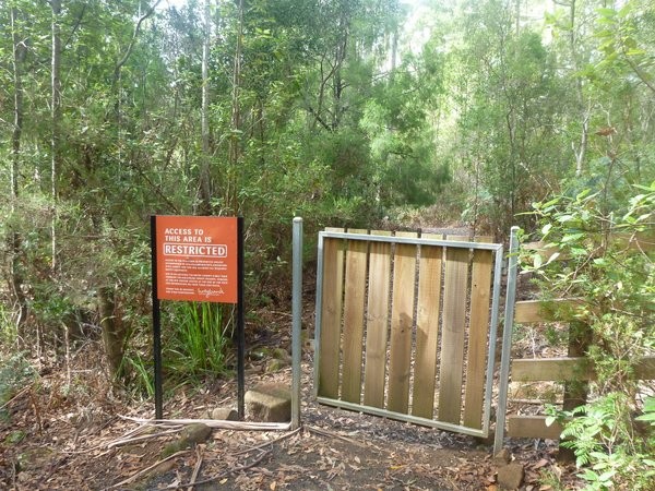
Down in the main reserve, stick to the mountain bike trails as Segways use the walkways and they move fast and it could be a dangerous encounter.
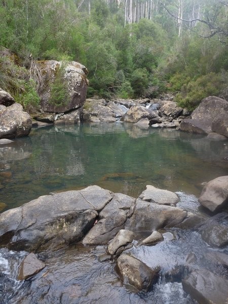
There are several creek crossings once you leave the green trails and Juggernaut can throw a few surprises your way, so take it easy the first time and get to know what's there. There are also several spots on the trails where there was no Telstra mobile coverage so make sure someone knows where you are.
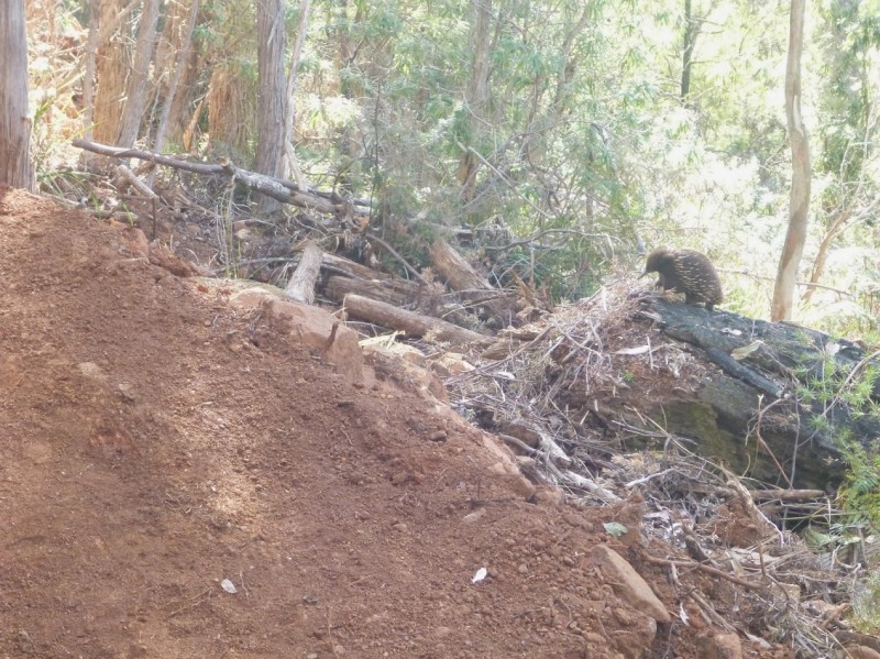
As always, this is Tasmania, so watch out for snakes and fallen branches on these trails.
ROUTE DETAILS
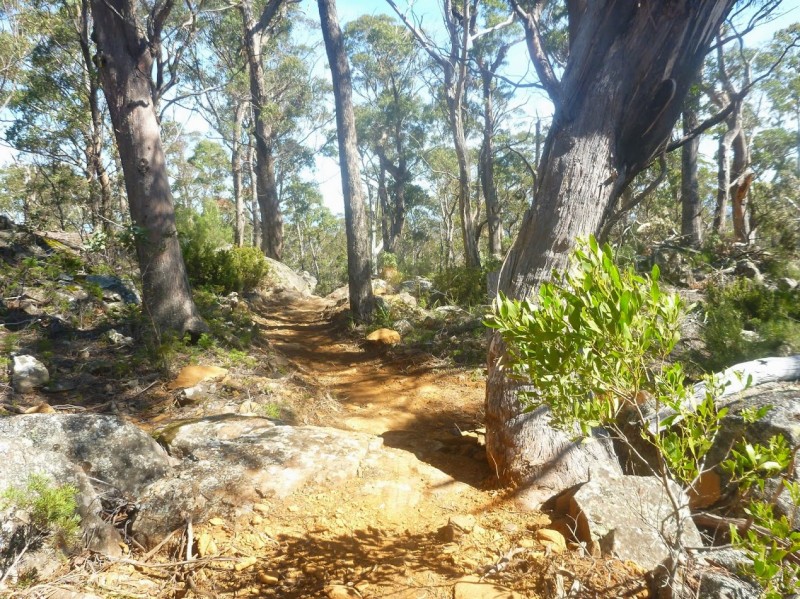
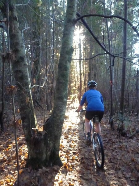
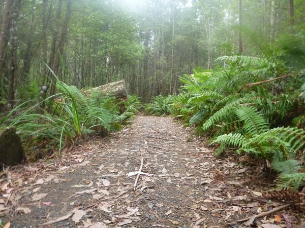
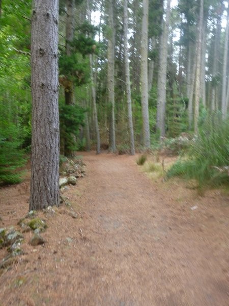
"No Sweat" - Easy Green Loop (4.5kms)
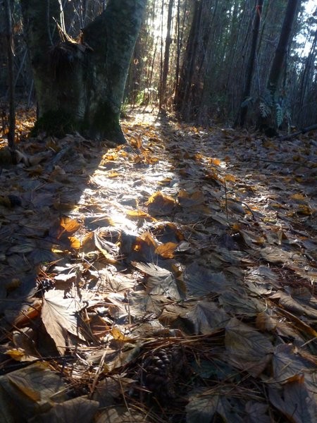
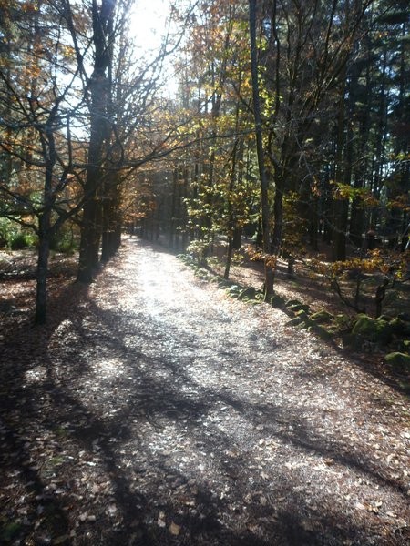
If you're just here with the kids or want an easy, scenic ride then you can have a really enjoyable time just riding around the 4.5km easy grade "No Sweat" green loop and maybe challenging yourself in the skills park. Even if you're an experienced rider, this loop can be a nice way to warm up, or warm down. I do have to be honest though and say that when I was last here (2022) the trail had lost some of its magic as the area has dried out and the route redirected from some of the more scenic areas.
This loop is one way and to be ridden in a clockwise direction only. It is shown by the green line on the map.
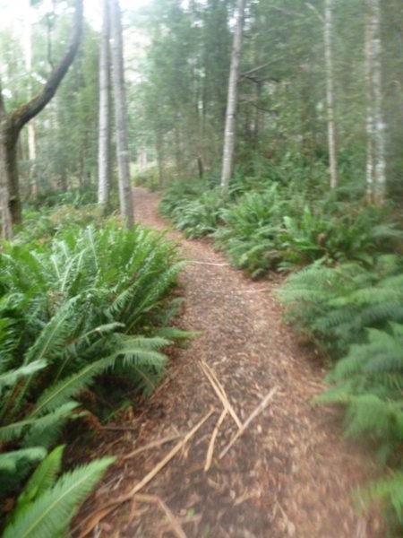
"Tall Trees" Blue Intermediate Loop (3.6kms)
If at the end of the green loop, you find you want a bit more of a challenge then the 3.5km "Tall Trees" loop heads off from the top car park pretty much at the start/end point of the green loop behind theMcNeill buildings. This loop is a noticable step up in difficulty, though still very much intermediate riding.
Again this loop is one way and is to be ridden in a clockwise direction. There's lots of nice berms as you head down to the first creek crossing before climbing and switchbacking your way back up to the highest point on the circuit (approx 2kms in) where the Juggernaut Track comes in. From here it is a nice fast run back down to the creek and then a final switchbacked climb back up to where you started.
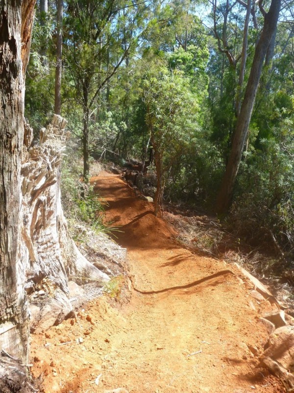
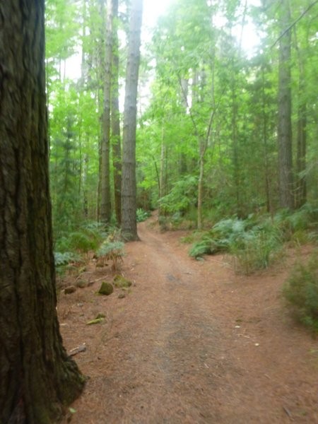
Juggernaut (Blue Intermediate- 10kms each way)
Approximately 2kms into the blue loop, you will find the turnoff for the 10km Juggernaut track (so it's 20kms out and back) heading off to your left.
This track is bi-directional and you can ride (or in my case, push) up this track and fitter riders will probably enjoy the challenge, but if you can arrange a car shuffle to the top (follow the pink line on the map which shows the road, details above in Route Options) you can avoid all the suffering and just enjoy the ride back down with fresh legs.
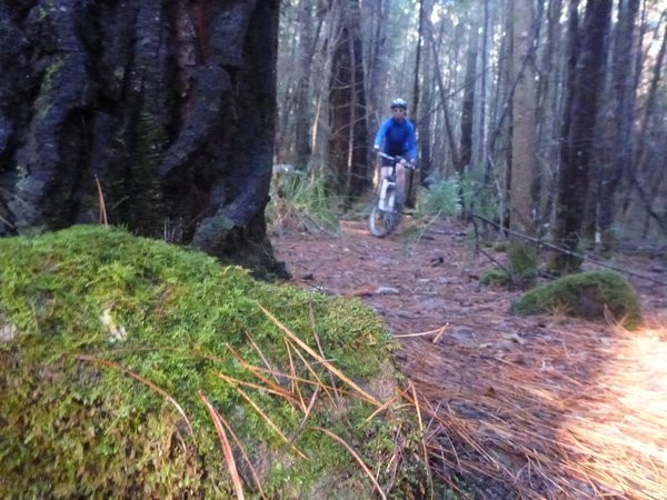
The last time I was here I rode my eBike and that made the ride up a lot more enjoyable, though even then it wasn't easy (especially given the number of trees over the track).
You could also ride the road all the way to the top (11.4kms) which although a bit boring is a lot easier to ride than going up the track, but you'd also miss some of the joy of the blue loop.
If you're not sure what to do, I'd suggest giving the ride up the Juggernaut track a go. You'll drop out onto a road about 4.1kms from the trailhead (at the 6.0km mark on the road as described in Route Options above) and if you've struggled up ths bit, now is the time to turn left and follow the road the rest of the way to the top (details on this in Route Options), but if you're enjoying the ride up the trail ... keep on going up (but it does get steeper and those rollers do not stop).
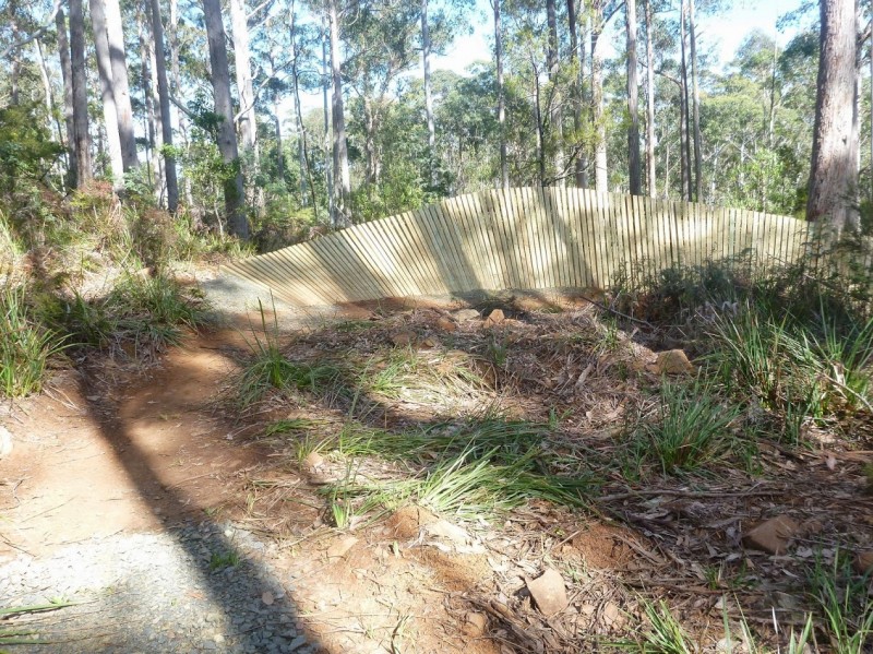
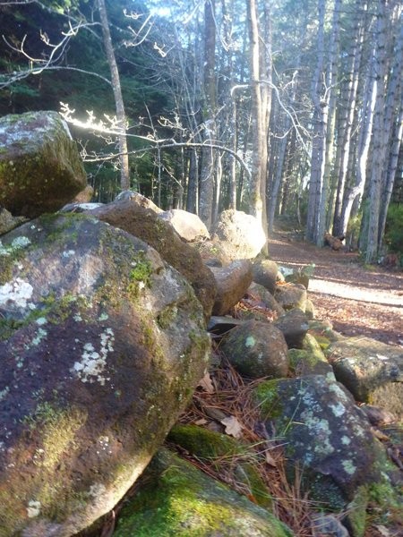
If coming in from the top car park, you'll have a short (150 metre) section which takes you to the top of a rocky knoll and then the descending begins. Just as you come off the top of this rocky knoll, watch out for where the Juggernaut switchbacks and heads down the hill with the double black diamond "Reverb track" continuing straight ahead. The Juggernaut track seems to have more berms, drops, rollers and rock obstacles on it than all the other tracks combined in Tasmania (OK, I exaggerate a bit).
This makes riding up the track quite difficult as you need to either keep the momentum high, or you'll find yourself having to put in endless spurts of energy as you crawl your way up the backs of these rollers. It makes riding down it rather awesome.
Ginger Ridge (Double Black Diamond/Extreme 1km)
I confess I haven't ridden this trail. Accordiung to Dirt Art (and heck they built it so they should know): "Ginger Ridge is an existing trail that we have given a little love. Built some years ago by local Rob Potter the trail is a frenzy of steep rock chutes, drops and turns. Suitable only for advanced riders this hand-built trail offers a truly challenging descent suitable for all mountain and downhill riders. The trail connects back onto Juggernaut via a 2km commute, or may be shuttle independently using Juggernaut as a lead-in from the summit with a pick up at the trails end.
Photos


Videos

Attachments
-
File DescriptionFile SizeFile TypeDownloads
-
Forestry Tasmania Hollybank Trails Map
244 KB 1615
1615 -
Hollybank Trails (KML)
88 KBkml527 -
Hollybank Trails (GPX)
151 KBgpx422
Map
Editor review
Review

User reviews
Review
Check this out solo and get all the info before you take your family there so you can really get the best of this trail.
Review
1. Rode up the road to the top of Juggernaut - it took us almost exactly an hour, and was fairly comfortable.
2. Rode down Juggernaut - the very top section has some technical rocky bits (including a wet rock slab on a sideways angle), after which is settles into a steady pattern of undulation + side to side + occasional very small rock drop. For intermediate riders, it certainly keeps you awake, and had two of us clipping out and putting a foot down from time to time. It's tiring because you never get to "flow" for very long - this might be better on a second ride.
The uphill rollers near the bottom seem to go on and on and are quite draining.
The second half of Tall Timbers was good fun, and flows beautifully down to the creek, and the switchbacks up are nicely spaced.
3. Did a full lap of Tall Timbers - brilliant track. Well built berms, great switchbacks, nice scenery. You can really attack it if you want.
4. Did a lap of No Sweat - maybe we went into this with the wrong attitude. Having already ridden 26km, this turned out to be hard work as two of us ran out of legs about halfway round.
The forest is beautiful, and the track design is lovely, though the loosish gravel surface means you can't drop concentration much.
This would be a lovely track if you're not already knackered!
Review
Review
Resources
Commercial Providers
Blogs, Articles etc.
-
{{#owner}}
-
{{#url}}
{{#avatarSrc}}
{{name}} {{/url}} {{^url}} {{#avatar}} {{& avatar}} {{/avatar}} {{name}} {{/url}} - {{/owner}} {{#created}}
- {{created}} {{/created}}